Commission to monitor forest with satellites to curb degradation and destruction
The Forestry Commission is to roll out a forest monitoring programme that uses satellites to monitor activities in the country’s forest and protect it against degradation and other forms of destruction.
Advertisement
Known as Forest 2020, it is aimed at developing, testing and integrating improved methods of forest change detection, for faster and more accurate identification of deforestation and degradation.
It is a five-year project that is funded by the United Kingdom (UK) Space Agency and entails the setting up of Earth-Observation Laboratories (EO Labs) in the country to assess threats to rainforests and facilitate the conservation of forest resources.
The project is being implemented by the Forestry Commission in partnership with the Kwame Nkrumah University of Science and Technology ( KNUST) and Ecometrica, an end-to-end environmental software service provider.
It is also to establish a digital infrastructure to assist the processing of satellite data and derive information from the end users.
Bridging gaps
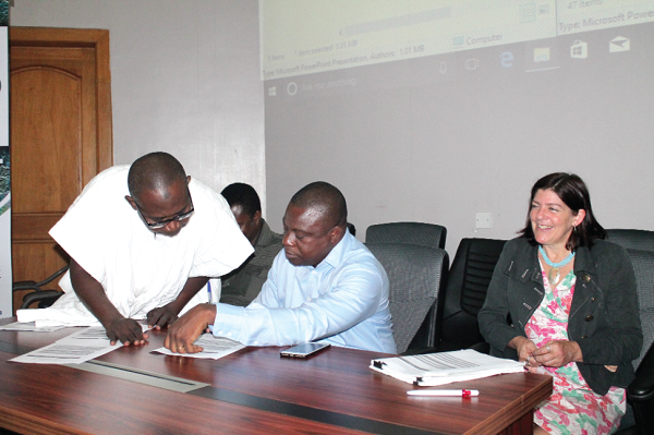
Speaking at an inception meeting to launch the project in Accra yesterday, the Deputy Chief Executive of the commission, Mr John Allotey, said the project would address the technical barrier that affected the sustained implementation of effective forest monitoring systems capable of forest change and providing information on the risks and drivers of forest loss.
Currently, Ghana is implementing the Reducing Emission form Deforestation and Forest Degradation (REDD+) Programme which is aimed at recording the country’s ability to cut down emissions and claim carbon credits.
Mr Allotey said to achieve that, there must be an accurate and transparent way of reporting on the state of the country’s forest resources.
In that regard, he said, the Monitoring, Reporting and Verification protocols had been developed by the REDD+ Secretariat to handle that but the process was faced with some challenges which needed to be addressed.
Forest 2020, he indicated, had been designed to address those technical challenges.
With chainsaw operators and illegal miners causing devastation in the country’s forest, he said, “It will help tell us what is happening in the forest if we are not physically there. You could see the negative or positive impacts regularly. The system would help monitor some of the illegal activities in the country’s forests.”
Timelines
The timelines for the project, expected to reduce the 165,000 hectares the country loses annually to deforestation, include six months for defining priorities, pilot areas, as well as identify target stakeholders for improved mapping products from July 2017 to September 2018 to develop and test the pilot areas with implementation and scale-up scheduled for September 2018 to March 2020 with the possibility of a two-year extension.
Ghana has so far received £ 1.2 million for the project.
Pilot areas
A key component of the programme is to identify innovative ways that space technology can be used to improve forest management and conservation.
Three ecological areas which meet the criteria for the project, including coastal ecosystem monitoring, forest reserve loss and associated threats of deforestation and degradation and reforestation efforts in the country have been selected for a pilot.
They are the Goaso-Offinso-Nkoranza-Techiman triangle noted for cocoa and the cultivation of other tree crops; the mangrove landscape in Ada, Keta, Songhor RAMSAR site and areas along the Elubo stretch from Takoradi. The project would check the extent of the mangroves and monitor the changes in the landscape over time, as well as the landscape under persistent cloud cover across the south western portion of Ghana with the aim of increasing the accuracy of mapping of the land cover in these areas
The Project Coordinator, Prof. Ernest Foli, said the project had the “ability to distinguish tree crops from natural forest to accurately estimate deforestation and forest degradation caused by the cultivation of tree crops, especially cocoa.”
“There is also the possibility of real-time monitoring of deforestation (or even degradation using satellite information), risk mapping in relation to the problem of fire,” he added.


