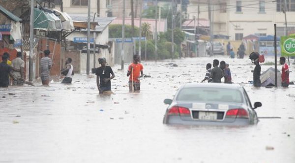
The World Meteorological Organisation (WMO) is assisting Ghana and five other riparian countries along the Volta Basin to develop a web-based flood and drought alert system.
The other beneficiary countries are Benin, Burkina Faso, Cote d’Ivoire, Mali and Togo.
This is being done in collaboration with the Volta Basin Authority (VBA) and the Global Water Partnership in West Africa (GWP-WA).
Dubbed: “Integrating flood and drought management and early warning for climate change adaptation in the Volta Basin (VFDM)”, the project is being funded by the Adaptation Fund, with the CIMA Research Foundation and others providing technical assistance.
This was made known at a three-day capacity-building workshop for technicians selected from agencies in charge of meteorology, hydrology, water resources management, water protection, civil protection, among others, for the development of flood impact and drought exposure maps of the Volta Basin in Accra last Friday.
The participants used new and existing information available from global satellite imagery and geospatial data sources, national and local agencies, as well as data from other projects in the region, to develop the maps.
The Volta River Basin is one of the largest river systems in Africa, covering an area of approximately 400,000 kilometres square.
It stretches from Ghana to Mali and spreads to over six riparian West African countries — Benin to the east, Burkina Faso to the north, Côte d'Ivoire to the west, Mali, Togo and Ghana to the south.
The total basin population is estimated at a little over 14 million, with an annual growth rate estimated at 2.9 per cent.
The project, which started in June 2019, will be completed at the end of June 2023.
Objectives
The Project Manager of the Volta Basin flood and drought management project, Mr. Ramesh Tripathi, said the objective of the workshop was to assess the vulnerability and impact of floods and exposure to drought around the Volta Basin.
He said similar workshops had been held separately for technicians in the five other countries through a series of online engagements.
According to him, the training would enable “the technicians to take ownership of the methodological approach for the evaluation of drought exposure, as well as flood impact maps”.
He said the maps were expected to be activated by December 2021.
It would also enable them to update the risk map which kept changing every five to 10 years, he said.
Commendation
The Executive Secretary of the Water Resources Commission, Mr. Ben Ampomah, commended the organisers and their partners for the project and said it would go a long way to help solve flood and drought-related issues in the country.
He said the Volta Basin covered about 70 per cent of the country’s land size, and that development of the map would help in the planning of projects, adding: “We will know where to put up structures such as schools.”
The Director of Climate Change Adaptation and disaster risk reduction at the National Disaster Management Organisation (NADMO), Ms. Charlotte Acheampong, also said the system would help the country improve on its disaster control strategies.
A hydrologist from the CIMA Research Foundation, Anna Mapelli, said the maps of the beneficiary countries would be harmonised.